
Lee's Summit Neighbor Record Sources
The most defensible block search is parcel-first. The Jackson County Parcel Viewer supplies parcel polygons, address, owner pane, legal description, district layers, and export tools. The assessment portal supplies account, owner, situs, mailing-address, value, and exemption context. The Recorder's Aumentum index adds the recorded ownership transition. The voter tool has a far narrower role, testing one exact registration rather than producing a block list. Each route answers a different part of a Lee's Summit neighbors question.
| Block source | What it can establish | Access path |
|---|---|---|
| Parcel Viewer | Parcel boundary, situs, owner pane, legal description, districts | Public map, print or PDF export |
| Assessment search | Owner account, situs and mailing address, values | Public property portal |
| Recorder Aumentum | Grantor, grantee, instrument, and recorded transfer trail | Free digitized index and images, older microfilm |
| CityView | Permit, inspection, planning, and project evidence by address | Address or permit-number search |
| Community contact | Board, documents, program, or membership route | Association or city contact route |
The owner field may identify a property connection. It does not identify every neighbor, renter, adult household member, or visitor. That line matters on a block with absentee ownership, trusts, recent transfers, or a mailing address different from the physical parcel.
Mapping a Lee's Summit Block
Open the subject parcel in the county map, then inspect the parcels that touch it or face it. Parcel geometry and street frontage make a better starting point than a shared mailing address. A corner parcel needs both frontages checked. The viewer's reported dimensions are approximate and are not a survey or legal-boundary determination. Use the legal description and recorded plat when the boundary itself matters.
- Find the address through Jackson County Assessment or the Parcel Viewer and confirm its situs address and parcel number.
- Open the parcel information pane and retain the legal description, owner pane, and district context.
- Click the parcels beside, behind, and across the relevant frontage, noting each parcel number instead of inferring a block from street text.
- Use the current owner as a grantee in Aumentum, then inspect the transfer history if the question is about property rather than occupancy.
- Use CityView for dated permit or planning evidence at a particular address when it is relevant to the block.
For a complete named-street chain, the Lee's Summit street directory follows the address-to-deed process in more detail. The block method stays focused on adjacent parcels and community context.
Lee's Summit Parcel Viewer Details
The parcel viewer can display parcel number, address, lot size, building information, land-use code, tax code area, exemption, school, library, fire, and water districts, plus legal description and owner data where populated. It can also show available market, assessed, and taxable values. TIF, CID, and TID fields may appear where applicable. Those fields help distinguish two nearby parcels with similar addresses and provide the bridge to the Recorder's subdivision, lot, and block search.
The county's Parcel Viewer shows the map and information-pane approach. Parcel selection is safer than treating a street label as a complete neighbors list, and recorded instruments remain the source for title or easement questions.
Lee's Summit Block Project Evidence
Lee's Summit CityView gives an address another public-record layer. The city directs users to Building Department Status and Fees, where a permit number or address can lead to general project information, inspection reports, and plan-review documents. CityView also has permit, planning-application, business-license, property-information, and miscellaneous-fee routes. A planning application can link a block to a dated city process without proving who occupied a property.
The city announced an upgrade and URL changeover in 2026, so an older CityView deep link may need to be retried from the portal landing page. That is a portal change, not evidence that the underlying city record disappeared.
Lee's Summit Neighborhood Watch is another civic route for a block concern.
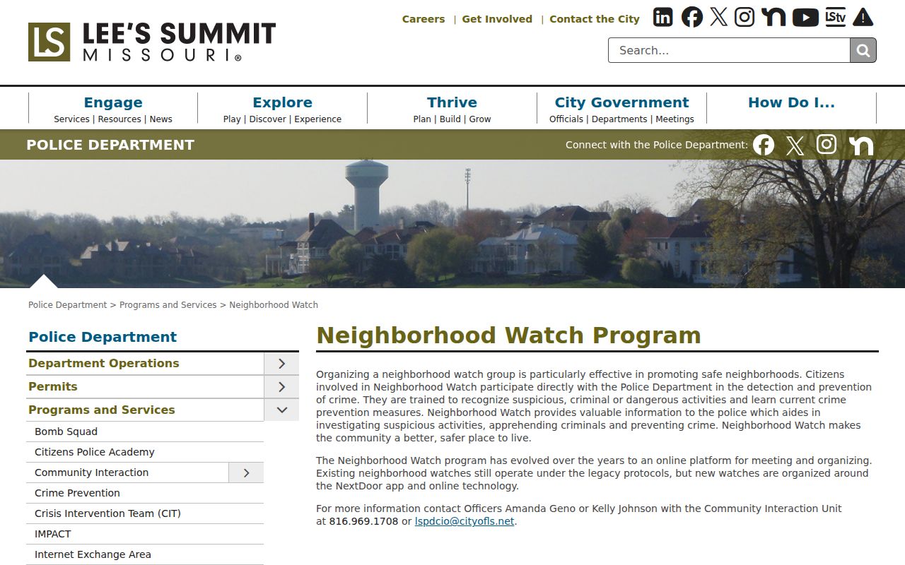
Neighborhood Watch offers a city-backed contact and safety program, not a public roster of the people who participate.
Lee's Summit Neighbor Community Routes
Association sites can be more useful as a contact route than as a name source. Windsboro describes 220 homes between Langsford Road and U.S. 50, west of Blackwell Road, and provides documents plus board, committee, and general contacts. Timber Hills publishes board and governing documents. Canterbury LS identifies itself as established in 1993 with more than 190 homes. Fairfield Green refers to a resident directory, but its contents were not available as a public list. No official citywide HOA roster was located.
| Windsboro HOA | Community documents and contacts, with no public member roster found. |
|---|---|
| Timber Hills HOA | Board, bylaws, covenants, plats, and pool rules; membership follows association eligibility. |
| Canterbury LS HOA | Public community information and events; no public member directory found. |
| Fairfield Green | References a resident directory, but public contents were not accessible. |
Windsboro's community page illustrates the kind of voluntary association material that may be available.
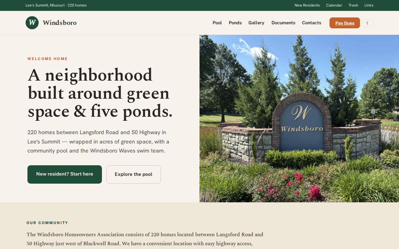
The public material gives a legitimate way to contact an association. It does not authorize publication or reconstruction of private membership data.
Lee's Summit Neighbor Business Layer
The Lee's Summit Chamber directory is a searchable member and business directory with search, category, and ZIP controls. It can help identify a neighborhood-serving organization or a local business connection. It is not a directory of households. That difference is useful when a block question involves a business property, a contractor, or a community group rather than a person who lives nearby.
The chamber search is a separate community layer. Use the property portal and Recorder for parcel evidence, then use the chamber only for the business or member information it actually publishes.
The Chamber active-member directory has its own category and ZIP search controls.
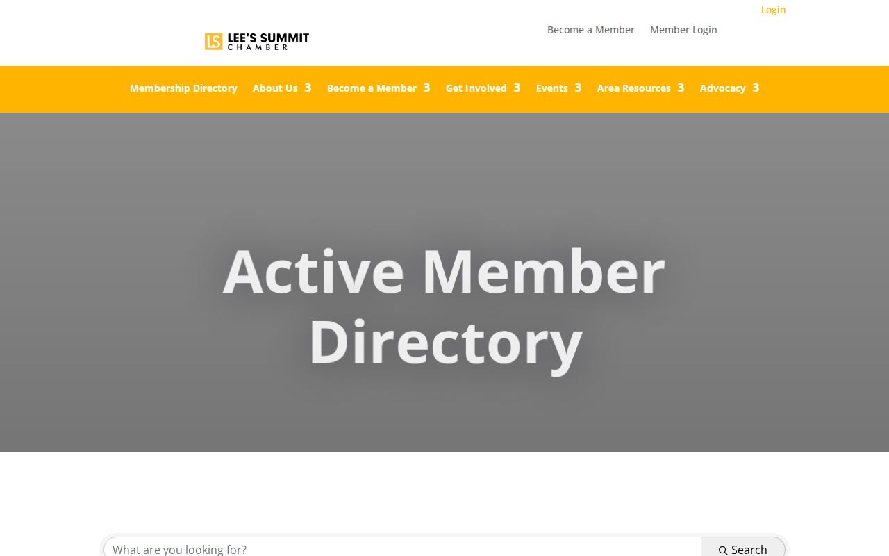
The member-search screen supports a local business lookup, not a claim about the people living on a block.
Lee's Summit Neighbor Source Comparison
Official property and recorded-document sources identify the custodian, the date, and the parcel or instrument reference that supports a result. Commercial neighbor tools may combine old public extracts, marketing records, and other data, so their freshness and identity matching can vary. A match in that category should be treated as a lead to verify, not a current block census or evidence of a family relationship.
| Source type | Best use | Do not assume |
|---|---|---|
| Official parcel and deed records | Parcel and recorded-property research | That all occupants are listed |
| City permit and planning records | Dated project evidence | That an applicant is a current resident |
| Commercial neighbor category | A lead requiring custodian verification | That its name or address is current or complete |
Note: An owner name, voter match, or community contact is not proof that every household member lives at an address.
Lee's Summit Neighbor Voter Limits
Missouri's public voter rules do not create an open tool for finding everyone around a Lee's Summit address. The Secretary of State lookup requires the registered first name, last name, date of birth, last four Social Security digits, and county for one match. Sections 115.157 and 115.163 address public voter fields and inspection of precinct registers, while protected addresses remain closed and election-specific data has statutory use restrictions.
For a legitimate records request, contact the Jackson County Election Board with the precinct or ward, record type, date range, and the least personal data needed. Do not treat a nearby voter match as proof that other people at the parcel are neighbors or registered voters. A parcel map and a voter record describe different public systems.
Privacy for Lee's Summit Neighbors
Public records have firm limits. A parcel account does not list renters or other household members. Missouri's voter lookup requires exact identity inputs and protected addresses may be closed. Missouri Safe at Home supplies qualifying participants a designated address for records and mail. Driver records, utility accounts, delivery information, sealed court files, and private association rosters are not ordinary block-search sources.
Lawful use. Use Lee's Summit neighbor records for civic context, family history, lawful reconnection, property curiosity, or a safety concern. Do not use the information to monitor, stalk, harass, or intimidate anyone.
Missouri law makes stalking and harassment serious matters. If a public record appears to expose a protected address or is wrong, stop copying it and contact the appropriate custodian, such as the Election Board, Recorder, Circuit Clerk, or Safe at Home program.
For a historical block question, move backward one source at a time. A current parcel can lead to a grantor or grantee search, then to a prior instrument or microfilm request. A directory, newspaper, cemetery entry, or probate file may add the human-history layer, but each must be dated and treated as evidence for its own period. The Library of Congress holds two September 1898 Lee's Summit Sanborn sheets that can date a streetscape or building footprint. They do not identify an occupant by themselves. Midwest Genealogy Center newspapers and historical collections are the practical next stop when a county index no longer supplies the needed year. Lee's Summit began as the Town of Strother in 1865, with the post-office name changing in 1868, so both historic names should be tried in early deed, newspaper, and family searches.