
Lee's Summit ZIP Code Coverage
Lee's Summit has several delivery ZIPs, but the available official sources do not provide a definitive neighborhood-to-ZIP map or station table. The Missouri postal-city data lists 64063, 64064, 64065, 64081, 64082, and 64086 with Lee's Summit or Lees Summit entries. An official city address confirms 64083 as well. These entries establish useful delivery geography, not fixed municipal boundaries.
| ZIP | Local delivery use | Post office or station | Verification note |
|---|---|---|---|
| 64063 | Lee's Summit postal-city addresses; older or central delivery is a working description only. | Not located in official source | Do not turn the ZIP into a city-limit line. |
| 64064 | Lee's Summit postal-city addresses, including the Timber Hills HOA address example. | Not located in official source | Postal service may extend beyond incorporation. |
| 64065 | Lee's Summit appears in state postal-city data. | Not located in official source | Street-level USPS confirmation is important near nearby service areas. |
| 64081 | Lee's Summit postal-city addresses, generally southeast or east suburban delivery. | Not located in official source | Use the actual address, not an assumed neighborhood line. |
| 64082 | Lee's Summit postal-city addresses, generally southern or eastern suburban delivery. | Not located in official source | Postal and city boundaries can diverge. |
| 64083 | Officially confirmed at Summit Park, 451 NW Blue Parkway. | Not located in official source | Absent from the captured state postal-city rows; verify each address. |
| 64086 | Lee's Summit postal-city addresses, generally northern or eastern delivery. | Not located in official source | Confirm street-specific delivery with USPS. |
The city also overlaps Census ZIP Code Tabulation Areas, or ZCTAs, including some ZIP labels that should not be presented as city delivery ZIPs. Census ZCTAs are statistical approximations, while USPS assigns delivery ZIPs to specific addresses.
Note: A postal-city label is useful for delivery, but an address still needs USPS confirmation before it is used as a county or city-record search key.
Lee's Summit Postal Geography
The city's own development-services maps and plans page is a useful starting place for a Lee's Summit ZIP code directory check, especially when a city address must be placed against municipal mapping. County GIS remains the parcel and assessment-map authority, while CityView holds municipal development records. Neither one converts a ZIP into a full residents list.
Lee's Summit maps and plans provide the city mapping context for a ZIP code directory search.
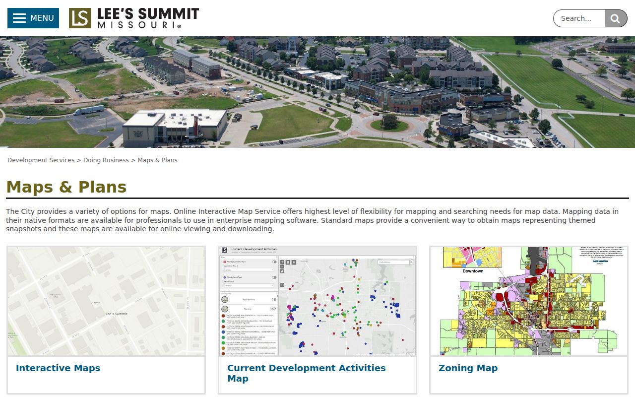
Use a map to orient the address, then verify the exact delivery ZIP through USPS and the record custodian through the parcel or case record. City, postal, and county lines can answer different questions.
Verify Lee's Summit ZIP 64083
ZIP 64083 deserves a separate check because the official Summit Park address uses it, while the state postal-city rows captured for research did not include it. That difference is a verification flag, not evidence that the city address is wrong. Enter the full street address in the USPS ZIP Code Lookup before using an address in county or city systems.
The best answer is address-specific. A city name plus a ZIP is less precise than the street number, street name, and delivery result together. No unattended capture supplied a complete local USPS result set, and the reviewed material does not establish a complete station assignment or boundary trace for 64083.
Check Lee's Summit ZIP 64065
State postal-city data associates 64065 with Lee's Summit, but the research also flags nearby service geography as a reason to verify the actual street. A ZIP code is not a substitute for a deed, parcel, or city-limit determination. When the address is near an edge, use USPS for delivery, then consult the county parcel record for the physical situs and legal description.
This small extra step matters before sending a records request. Jackson County is the principal county for Lee's Summit, yet a small portion of the city extends into Cass County. The right Recorder, assessment office, court, or election authority comes from the address and county, not the ZIP label alone.
Note: No verified ZIP split, realignment year, or complete post-office station list was located in the official material reviewed for Lee's Summit.
Search Lee's Summit Records by ZIP
ZIP narrowing is a workflow, not a single open search. The county assessment system supports property address, owner, account/PIN, and mailing-address research. Its documented material did not confirm a ZIP-wide result mode. The voter lookup is a one-person match tool, not a public ZIP roster. CityView accepts permit or address searching, with its ZIP filter behavior not verified.
- Use USPS to confirm the delivery ZIP for the complete street address.
- Use the Jackson County assessment portal or Parcel Viewer to confirm the situs address, parcel number, and county custody.
- Search CityView by address or permit number for municipal project material, if the address lies inside city service coverage.
- For a known voter, use Missouri's exact-input lookup; for an appropriate public-record request, identify the precinct, date range, and lawful noncommercial purpose to the election authority.
- Once a ZIP narrows the area to a particular street, continue with the address chain in the Lee's Summit street directory.
A county address search can identify an owner or property record, but it does not establish all household members. Keep the property, electoral, and permit layers separate.
Lee's Summit Search Controls
Local portals supply confirmed address controls, but the research did not verify a public ZIP-only filter in the assessment, GIS, voter, or CityView interfaces. The table records only the observed or officially described controls. It is better to state a limit plainly than to suggest that a ZIP code directory can return a complete citywide address list.
| Local system | Confirmed input or control | ZIP use supported by research |
|---|---|---|
| Jackson County Assessment | Property address, owner name, account/PIN, mailing address | No ZIP-wide result mode verified. |
| Jackson County Collector | PIN, primary owner, property address, mailing address | Explicit ZIP filter not exposed. |
| Parcel Viewer | Parcel selection, map information, legal description, print/export | ZIP layer or ZIP-only control not confirmed. |
| Missouri voter lookup | Exact first and last name, birth date, last four SSN digits, county | No open ZIP-wide resident search. |
| Lee's Summit CityView | Address or permit number, property and application routes | ZIP filter behavior not verified. |
The Jackson County Election Board can receive a public-record request for a legally permitted voter list or inspection. Missouri law allows address and ZIP fields in statutory formats, but release rules, fees, time, protected addresses, and noncommercial limits still apply.
Note: A confirmed ZIP can narrow a request, yet it cannot override an election authority's protected-address and release rules.
Lee's Summit CityView Addresses
Lee's Summit's CityView inspection instructions direct users to Building Department Status and Fees, then to an address or permit-number search. Results can include project information, inspection reports, and plan-review documents. That makes CityView a practical address-level supplement after a delivery ZIP is confirmed, but it is not a ZIP code directory of residents.
The CityView instruction page shows the city's address and permit route.
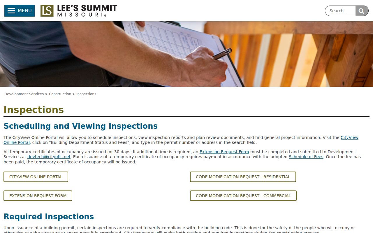
CityView was upgraded in 2026, and the city warned that its URL and interface would change. Return to the official city page when an old development or permit link no longer opens.
Lee's Summit County ZIP Edges
Postal labels and governmental boundaries intersect around Lee's Summit but do not match perfectly. Jackson County holds the main property, deed, and election routes for most local addresses, while a small city portion is in Cass County. The parcel's county, not a general Lee's Summit postal label, determines where a county-level property, Recorder, or court search should begin.
The city's historical footprint adds another reason to read the underlying record. Lee's Summit began as the Town of Strother in 1865, and the post-office name changed in 1868. Older material may use Strother, a post-office box, a rural route, or a street description rather than a modern ZIP code.
Lee's Summit Before ZIP Codes
ZIP codes are modern delivery labels, so they should not be backfilled into a historic directory, deed, newspaper, or map entry. Search both Lee's Summit and Town of Strother for 1865 to 1868 material when an archive allows it. A historic record can be bridged to the present through a street, parcel, legal description, plat, or map, but any inferred match needs clear supporting records.
The 1898 Lee's Summit Sanborn sheets, old plats, and recorded descriptions can help date the block. They do not identify a present-day delivery ZIP or prove who lived at a property. This distinction keeps a ZIP code directory focused on postal geography rather than speculation.
Lee's Summit ZIP Code Boundaries
Delivery terminology can look technical, but the useful distinction is simple: USPS delivers to addresses, while Census boundaries summarize geography. Confirm the address first, then choose the source that matches the question. The 2020 Census profile includes overlapping ZCTAs, which are useful for statistics but are not an authoritative postal-delivery map.
- ZIP code
- A USPS delivery-routing label assigned to an address or delivery area, not a municipal boundary.
- ZIP+4
- An added four-digit delivery detail used with a five-digit ZIP; it does not create a separate city boundary.
- PO-box ZIP
- A ZIP used for post-office-box delivery, which may not describe nearby street delivery.
- Unique ZIP
- A ZIP associated with one large organization or delivery arrangement; none was verified for Lee's Summit in the reviewed sources.
- Carrier route
- A USPS delivery sequence within a ZIP, not a public household directory.
For a ZIP mismatch, keep the USPS result, parcel number, situs address, and county together. That record set is far more useful than assuming every Lee's Summit address shares one postal geography. Postal labels can change without moving a parcel or altering a recorded legal description, so the underlying address and county should remain the reference point for a later records request.